INDIAN MOUNTAIN

Mount Hood fills the southern horizon from the summit of Indian Mountain.
HIKE STATS:
Distance: 8.8 miles out and back
Elevation Gain: 1,300 feet
Trailhead elevation: 4,013 feet
Trail high point: 4,932 feet
Season: June – October
Best: June – July
Pass: NW Forest Pass and / or day-use fee (this part is unclear)
GPS Track: September 2018
On the traditional lands of: the Cascades, Stl’pulmsh (Cowlitz) and Warm Springs peoples
DIRECTIONS:
From Portland, drive east on Interstate 84 to Hood River.
Leave the freeway at Exit 62, immediately after arriving in Hood River.
Just after you exit the freeway, turn right onto Mount Adams Avenue opposite a gas station. This road becomes Country Club Road.
Drive 3.2 miles to a T-junction with Barrett Drive. Turn left.
In just 0.2 mile, keep straight at a stop sign. Continue 1 more mile to a junction with OR 281. Turn right.
Drive 2 miles to a junction on your right, immediately after passing the Apple Valley Country Store, signed “Dee Parkdale Next Right”. Turn right here (do not continue straight uphill).
Drive 2.2 miles on this highway, passing Tucker Park along the way, to another junction on your right, signed for Lost Lake. Veer right here.
Drive 4 miles on this road to a junction with Lost Lake Road. Turn right.
Cross the West Fork of the Hood River and reach a junction with Rainy Lake Road in just 0.3 mile. Keep left to continue towards Lost Lake.
Continue 5 miles to a junction on your right signed for Wahtum Lake. Veer right here.
Drive this one lane paved road 4.3 miles to a junction with FR 13. Keep straight here to continue on FR 1310.
Continue on this one-lane paved road another 5.9 miles to the trailhead at Wahtum Lake’s small campground. Along the way, watch out for rockslides, potholes, buckled pavement, and other drivers. The road continues uphill to Indian Springs, but is rutted and has several large water bars. I can only recommend it for high-clearance vehicles, and only if you’re planning on hiking south to Buck Peak.
Trailhead: Wahtum Lake Campground (Google Maps)
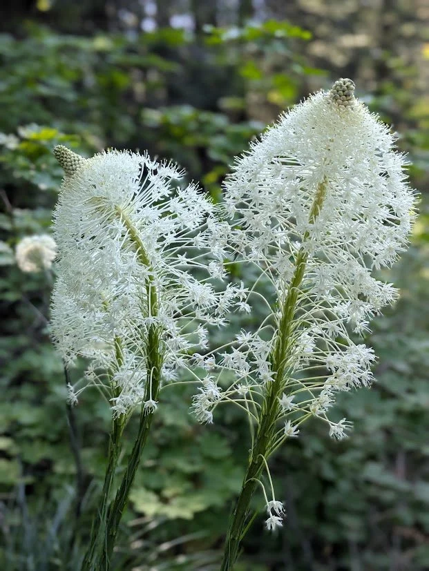
Hike: Situated at the head of Eagle Creek’s famed valley, Wahtum Lake has long been a favored destination for backpackers and PCT through-hikers. Few hikers rarely take the time to explore this beautiful area. Even fewer hikers are aware of perhaps the area’s best viewpoints, on the open slopes and summit of Indian Mountain. Best of all, the hike is quite easy, as you let your vehicle do all the work. It almost feels like cheating!
Begin at the Wahtum Lake trailhead, which is also a small campground. At the signboard, hike straight and downhill on the Wahtum Express Trail. This path quickly drops to the lakeshore via more than 250 steps. Reach a junction with the Pacific Crest Trail near the shore. Turn left. You will hike around deep, scenic Wahtum Lake almost 0.5 mile to another trail junction, this one with the Eagle Creek Trail. Keep left and leave the lake to begin a long, gentle ascent through verdant, old-growth forest. At 2.3 miles from the trailhead, leave the forest as you parallel FR 660, a seldom-used gravel road that connects Wahtum Lake and an upper trailhead for Indian Mountain. As you pass directly above this road, a fabulous view of Mount Hood to the south enchants hikers. Stay on the trail and descend gently to primitive and seldom-used Indian Springs Campground at 3.2 miles from the trailhead. If you’re backpacking, the springs are 100 feet down the Indian Springs Trail and are not all that appealing; look for a creek that flows across the trailhead access road about 200 feet back towards the main Indian Springs Road instead.
Continue straight on the PCT, crossing the campground access road and passing two signboards. You will curve around the lower slopes of Indian Mountain to a junction with the Indian Mountain Trail 3.7 miles from the trailhead. The view here is stupendous: while Mount Saint Helens, Mount Rainier and Mount Adams loom on the horizon, the real star here is the 180 degree view of the upper Columbia River Gorge. Veteran Gorge hikers will be able to pick out Larch Mountain, Silver Star Mountain, Table Mountain, Chinidere Mountain and Mount Defiance (to the northeast – look for the radio towers). Immediately to your left is hulking Tanner Butte, while the entirety of Eagle Creek’s long canyon spreads out beneath you. As good as this is, don’t turn around yet! Turn left at the cairn onto the Indian Mountain Trail. You will ascend open slopes where the trail is a bit vague (follow the huge cairns) to the remains of a summit access road. Follow this road into the forest as it becomes a trail. You will stay in the forest until you switchback up to the summit of Indian Mountain at 4.3 miles. A former lookout site (watch for broken glass and nails on the ground, as well as the remains of an outhouse just below the summit), the view to the south is outstanding. Mount Hood appears surprisingly close over the upper Hood River valley, while Mount Jefferson, Three-Fingered Jack and everything in between are visible on the southern horizon. The concrete foundations of the old lookout tower make great seats for lunch. Return the way you came.