CRAFT CABIN TRAIL
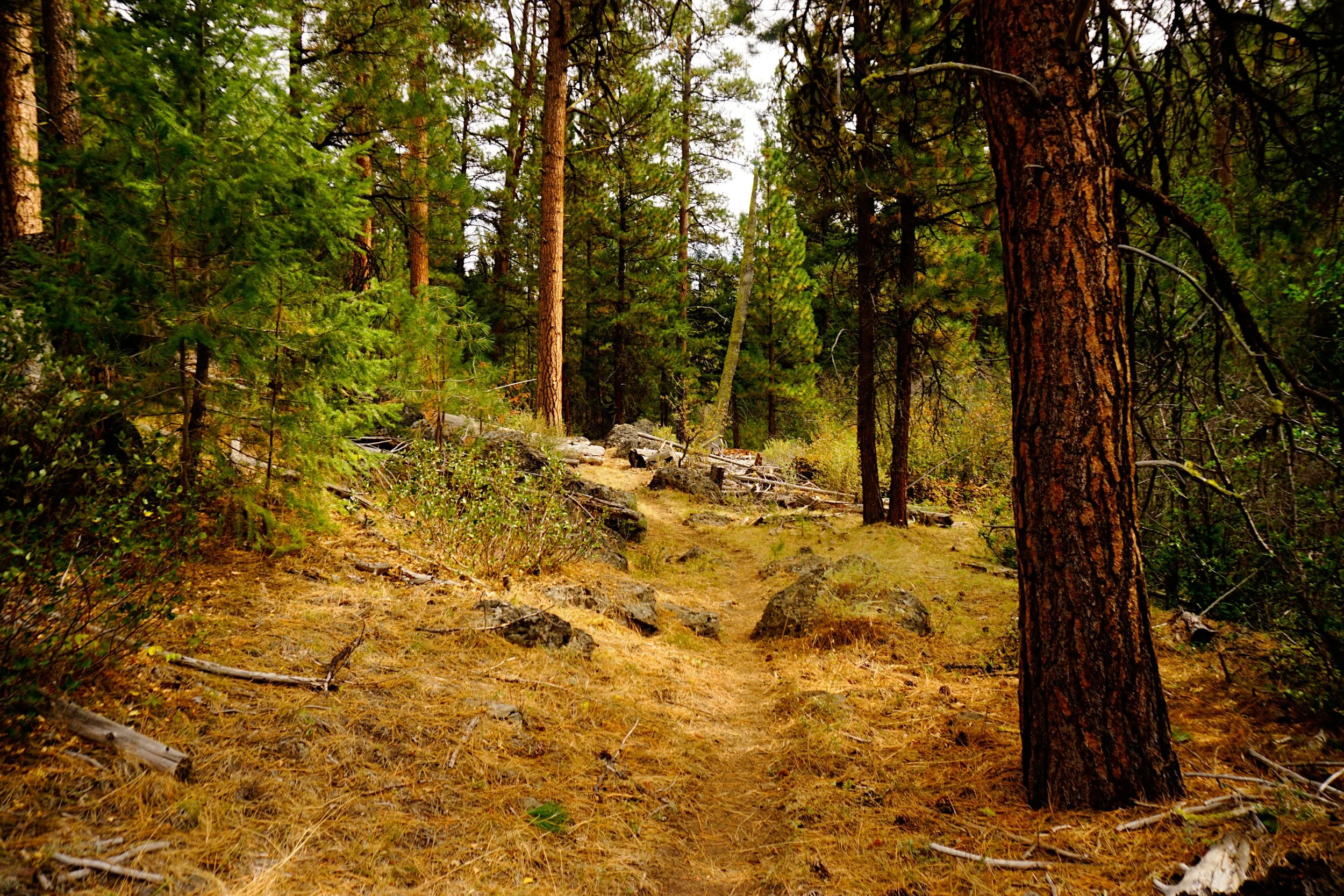
Ponderosa pines along the Craft Cabin Trail northeast of Burns.
Why this missed the cut: This hike was a backup plan on a day in which the mountains were completely socked in. I ended up here after getting snowed out of Steens Mountain (I went back the next day and completed this book!). This is not the most interesting hike in the world, and not worthy of inclusion in Extraordinary Oregon!, but I enjoyed it the same. Lovers of solitude will enjoy the Craft Cabin Trail greatly - fewer than a dozen parties a year use this trail. As this area is so remote, here is a link to my GPS track of the hike as well as the drive.
Hike stats:
Distance: 7 miles out and back
Elevation Gain: 900 feet
Trailhead elevation: 4,934 feet
Trail High Point: 4,934 feet
Seasons: May - November
Best: June - July
Pass: None needed
On the traditional lands of: The Nüümü (Northern Paiute) people
Directions:
From Burns, drive east on US 20 for 12.6 miles to a junction with Rattlesnake Road on the left, signed for Call Meadow.
Turn left and drive 8.3 miles of excellent paved road to the Malheur National Forest boundary, where the road changes to gravel.
Continue north on this road for 3.5 miles of alternating gravel and rough pavement to a fork in the road, a junction of FR 28 straight ahead and FR 2850 on the right. Turn right here.
Drive 2.2 miles on FR 2850 to a Y-junction with FR 2855 on the right. Turn right here.
Drive 2.1 miles to an unmarked junction with Craft Spring Rd, Fr 121 angling downhill to the left.
Turn left here and drive downhill 0.8 mile to a fork. Turn right on FR 125 here.
Drive 100 feet and keep right at a sign for the Craft Cabin Trail.
Continue downhill 0.3 mile to the trailhead at a turnaround at the end of the road.
Driving notes: though extremely remote the roads are mostly in very good shape. Only the last 1.2 miles feel a bit sketchy, and only due to the narrowness of the roads. Watch out for cows!
Hike notes: From the trailhead, follow the trail downhill through open forest. Orange diamonds and metal hiker signs help keep you on the trail. You will reach the bottom of Pine Creek's canyon at 0.4 mile, and just a short distance after that, reach a wooden turnstile designed to keep cattle out of the inner canyon. Clearly it isn't working – this hike had more cow pies than any other I've ever hiked. So it goes.
The trail follows milky, glassy Pine Creek for the entirety of the hike. Tall ponderosa pines provide a scenic contrast with the brushy banks of the creek. There is no destination per se – turn around when you feel like it. The trail fords the creek four times in the first three miles. Even though the creek is shallow and narrow, it can be difficult to cross with dry feet.

Pine Creek and the Craft Cabin Trail, September 2022.
I turned around at 3.5 miles, at a somewhat high spot above the creek. I enjoyed the hike – especially for the solitude. I met two bow hunters, but for the most part the trail is seldom used. Return the way you came.
