The Hardest Cuts: Postage Stamp Butte
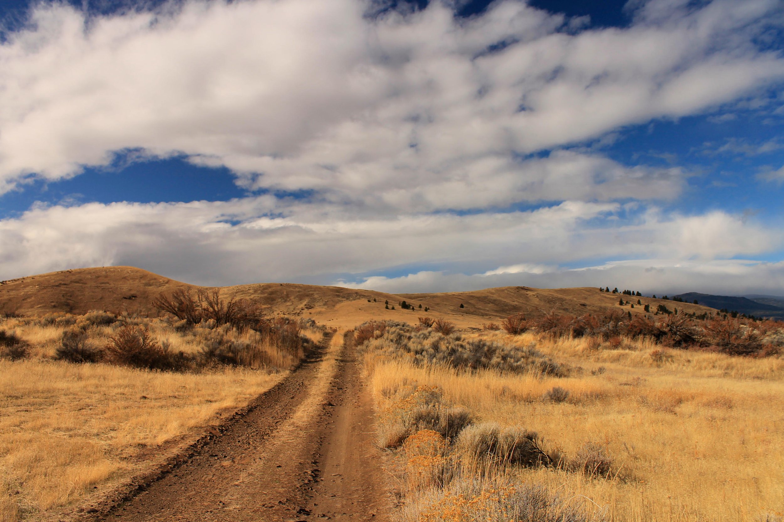
Hiking the old dirt road to Postage Stamp Butte.
Distance: 4.3 miles out and back (or off-trail loop)
Elevation Gain: 785 feet
Trailhead elevation: 2,618 feet
Trail high Point: 2,980 feet
Season: all year
Best: March – May, October
Pass: Oregon Fish and Wildlife Pass
On the Traditional lands of: the Tenino people
Directions from The Dalles:
From The Dalles, drive US 197 south 15.2 miles to a turnoff on the right for Dufur Gap Road.
Turn right onto Dufur Gap Road and drive 4.5 miles to a junction with Friend Road.
Turn right onto Friend Road and drive 1.8 miles to a junction with Hix Road.
Turn left onto Hix Road and drive 0.3 mile to a junction. Keep slightly right to stay on Hix Road.
Drive 3.5 miles of increasingly rough gravel to a junction with Postage Stamp Road. Drivers of low clearance vehicles should park here but you can turn right onto Postage Stamp Road and drive 1 mile to the corral mentioned below.
Drivetime from The Dalles: 45 minutes
Hike: Few Oregonians know about beautiful Tygh Valley, some twenty miles east of Mount Hood and forty minutes south of The Dalles. The locals are certainly fine with that. This lovely corner of Oregon charms with ponderosa pines, hidden farms, and spring wildflowers. Driving into Tygh Valley from the north, you cannot help but notice the rounded hills above the town. One of these, Postage Stamp Butte, is in fact a former lookout site with a fabulous view across the dry east side of the Cascades and out into the high desert. This hike follows an abandoned road across a small parcel of public land to the summit of Postage Stamp, a worthwhile destination in any season. Keep an eye out for rattlesnakes and ticks throughout the warm season, and expect to see a few hunters if you visit in the fall.
Begin by walking the spur road west from the trailhead on Hix Road. Follow this road for 1.1 miles to a charming glen of tall oak trees. High-clearance vehicles can make it to this spot, but this is already a short hike; why make it any shorter? Look for a gate on the left in this forest. Though less than obvious, this is the old road to the summit. Pass through the gate and commence hiking this old road to the summit.
The old road is grassy and steep, but the way is obvious, and the summit is ahead of you for most of the hike. It’s clear that this road hasn’t seen much use since the lookout was dismantled. The occasional hunter passes through here in the fall, but otherwise you’re likely to be alone. Follow this grassy road uphill to a saddle, and turn right to hike to the summit. All that remains of the lookout is a pole, a pair of wooden posts, and a survey marker. From here you can see the entire route of your hike, as well as all of Tygh Valley. If you’ve managed to come here on a day during which it is raining west of the Cascades, you will enjoy watching rain clouds pass over the mountains and break up before they reach the summit of Postage Stamp Butte. Such is the experience of hiking in the rain shadow!
You should probably return the way you came, but it’s quite fun to ramble off-trail along the slopes of Postage Stamp Butte to locate new viewpoints and hidden groves of oak and pine. This is best accomplished with a GPS and a firm knowledge of public land boundaries. Otherwise, just retrace your steps back to the trailhead at Hix Road.

Map of the Postage Stamp Butte hike.