WHETSTONE MOUNTAIN

Amazing old-growth on the north side of Whetstone Mountain. This grove survived the 2020 fire.
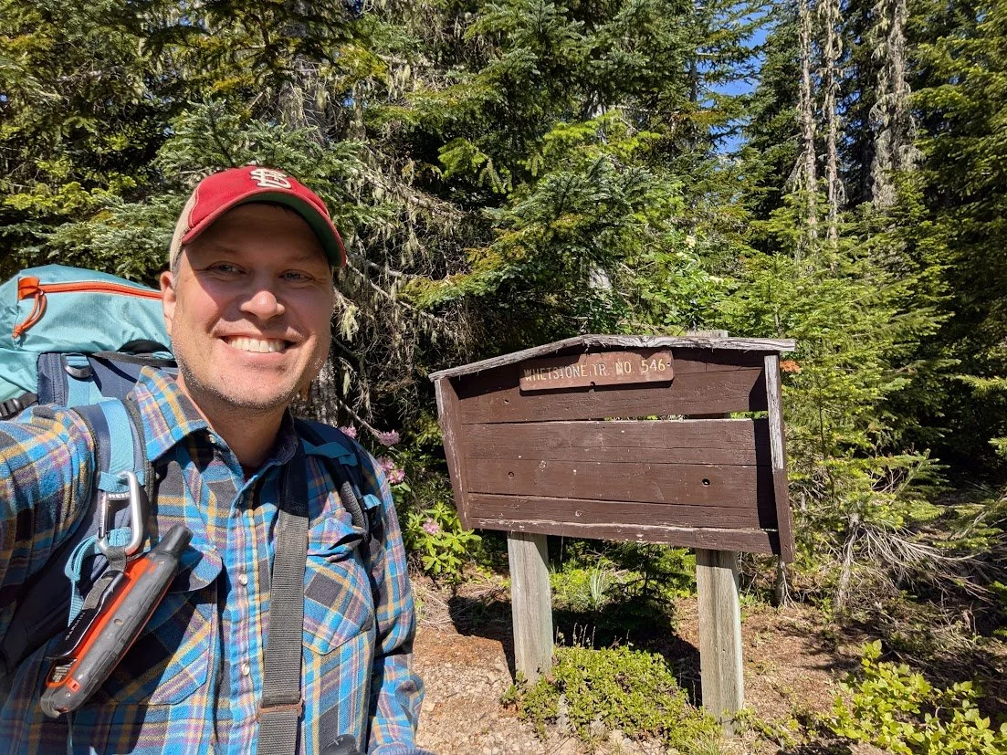
Note: This hike sustained a lot of damage during the 2020 fire. The photos in the gallery below are from June 2025, when I attempted to do this hike. Hopefully this trail will receive maintenance soon. If you go, be prepared for hundreds of downed trees, a lot of brush, and be prepared to turn around if you feel uncomfortable.
HIKE STATS:
Distance: 4.2 miles out & back to Whetstone Mountain Summit, 10.1 miles out and back to Bagby Trail
Elevation Gain: 1,400 feet, 1,800 feet
Trailhead Elevation: 3,974 feet
Trail High Point: 4,970 feet
Season: June - October
Pass: None needed
GPS Track: July 2020, June 2025
On the traditional lands of: the Molalla people
DIRECTIONS:
From Portland, drive southeast on OR 224 to Estacada.
From Estacada, continue southeast on OR 224 for approximately 25 miles to the store at Ripplebrook.
Just past Ripplebrook OR 224 becomes FR 46. Continue straight on FR 46 for 4.2 miles from Ripplebrook to a junction with FR 63, where you turn right. Watch your odometer carefully, as there is no sign as of June 2025.
Drive this 2-lane paved road for 3.5 miles to a junction with FR 70, signed for Bagby Hot Springs on the road surface.
Turn right on FR 70 and drive 6 miles to the crowded Bagby Hot Springs trailhead on your left.
Continue on FR 70 for 1.3 miles to a junction with FR 7020 on your left.
Turn left and drive up this road, keeping straight at forks in the road at 1.9, 4.0 and 5.5 miles, respectively.
At 5.9 miles, reach a junction with FR 7030. Keep left here on FR 7020 and drive 0.7 miles to a junction with FR 028 on your left, just before the end of FR 7020.
Turn left here and drive 50 yards into the trailhead parking lot.
Trailhead: Whetstone Trailhead (Google Maps)
Hike: Picture yourself on a scenic mountaintop; below you is the rumpled quilt of the Opal Creek Wilderness, ahead of you is Mount Jefferson and all around you are the rocky ramparts of a wilderness ridge. If that sounds like a great time, Whetstone Mountain is well worth the long drive into the middle of nowhere. But wait, there’s more! You also get to hike through a glorious high-elevation old-growth forest and have several outstanding side trips from which to choose.
In some spots the Whetstone Trail passes through huge rhododendrons, obscuring the trail.
The trail begins in an old clearcut but quickly descends into a magnificent old-growth forest of six-foot thick Douglas firs. Mosquitoes are a nuisance shortly after snowmelt (in mid-June most years) but the profusion of pink rhododendrons along the trail is a suitable tradeoff. After 0.8 mile the forest begins to open some, offering views of Mount Hood to the north and passing a few small ponds before climbing to a forested saddle and trail junction with the Gold Creek Trail at 1.3 miles. Note, June 2025: This stretch of trail up to the saddle has many downed trees - watch your step and be careful to stay on the trail, as the terrain is steep and unforgiving.
For those seeking the summit, turn right and switchback through dense forest and more rhododendrons to a trail junction at 2.1 miles from the trailhead. Fork to the right and switchback uphill another 0.3 mile to the summit, a former lookout site. The view here stretches from the Willamette Valley to the High Cascades. Look for distinctive Battle Ax and Mount Jefferson just behind it dominating the view to the east. The valley below you is that of Battle Ax Creek, which along with Opal Creek combine to form the Little North Santiam River. Hikers familiar with the area will enjoy taking their time to identify as many familiar sights as possible. For a short hike, turn around here and return the way you came. Note, June 2025: The trail from the saddle to the summit is flagged and discernable, at least at first. Expect lots of downed trees and obscure trail.
If you’re up for a longer hike, return to the junction with the northern Whetstone Mountain Trail and continue east. You’re in the burn here, as the Beachie Creek Fire burned over the ridgetop in numerous spots here. Just as quickly however, you’ll drop into a grove of ancient forest that survived the fire, and the contrast is stunning: if you never made it here before the fire, this is what the entire area looked like. If you visited before, this small pocket of forest will bring tears to your eyes as you remember what used to be. At 0.8 mile from the junction, or 2.1 miles from the trailhead, you’ll reach a junction with the Gold Creek Trail (or Whetstone Trail, as it says on the sign - there are in fact two Whetstone Trails, as this ridgetop is located on the boundary with the Willamette National Forest). As of this writing in June 2025, the Gold Creek / Whetstone Trail heading downhill is extremely brushy and has lots of downed trees; when restored, it will make for a great connector with the Upper Battle Ax Creek Valley, which did not burn.
Beyond the junction, the trail continues 2.2 miles to a junction with the Bagby Trail, the long route that connects the Bagby Trailhead with Elk Lake on the slopes of Battle Ax. From there, the choice is up to you as this accesses the huge trail network in the Bull of the Woods Wilderness. But with poor trail conditions, you should probably wait for trail crews to come through here first before you set out on any great adventures.
From wherever you decided to stop, return the way you came.