


The Table Rock Wilderness and the northern half of the Bull of the Woods Wilderness is where Mount Jefferson country begins. That is to say, this is where Mount Jefferson becomes the biggest, baddest and closest major peak on the horizon. This section covers hikes from Table Rock and the northern side of the Bull of the Woods Wilderness.
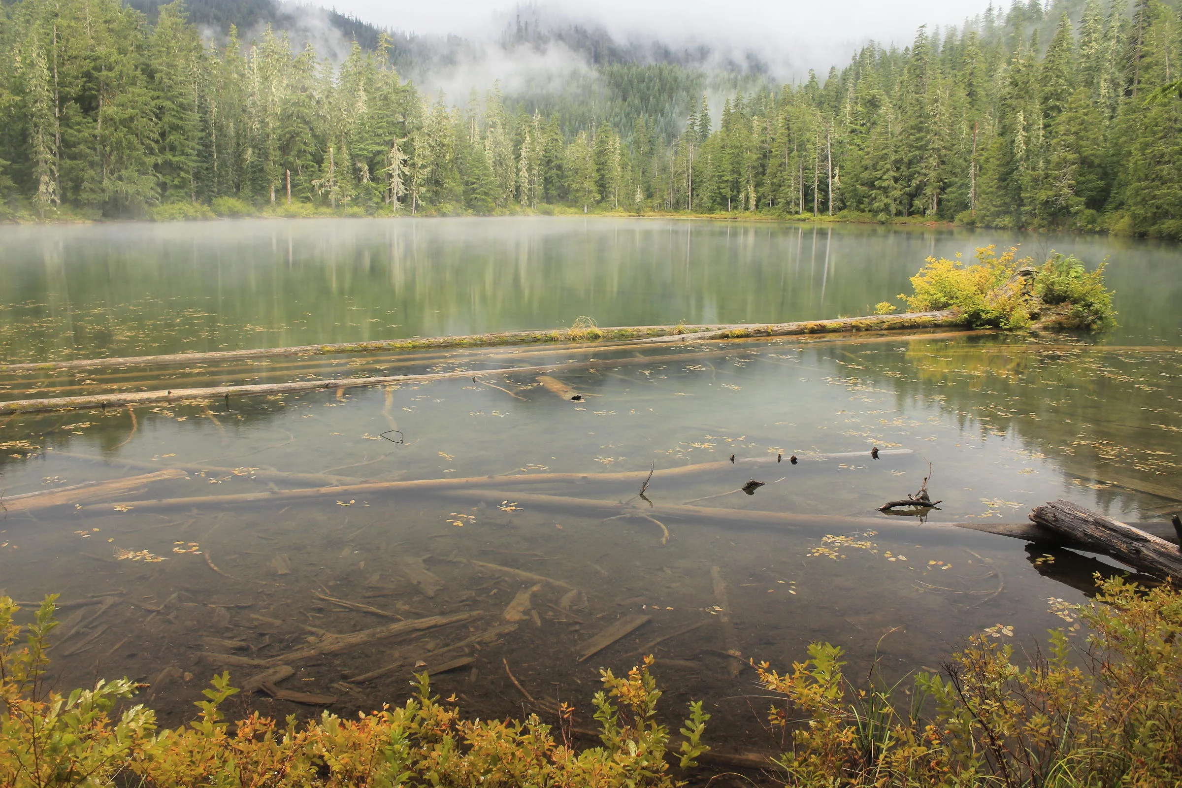
The Opal Creek and Bull of the Woods Wilderness Areas form the largest contiguous expanse of ancient forest left in Oregon. Unsurprisingly, the highlight of virtually every hike in this area is the forest, and fans of the area compare groves of old-growth here only against the nearby competition. Not to be outdone, the creeks and rivers in the area are often an electric shade of green, a reflection of the green rock underneath the flowing water. This section covers hikes in the Opal Creek Wilderness and south side of the Bull of the Woods Wilderness, as well as hikes north of Detroit Lake.
The Old Cascades are aptly-named: this range of mountains to the west of the Cascade’s great volcanoes predate their more explosive cousins by many millions of years. These Cascades are of volcanic origin as well, and the soil is highly fertile. As a result, you will find some of the finest wildflower meadows in the region. This section covers hikes from the south side of Detroit Lake to US 20, from Sweet Home east to Santiam Junction.
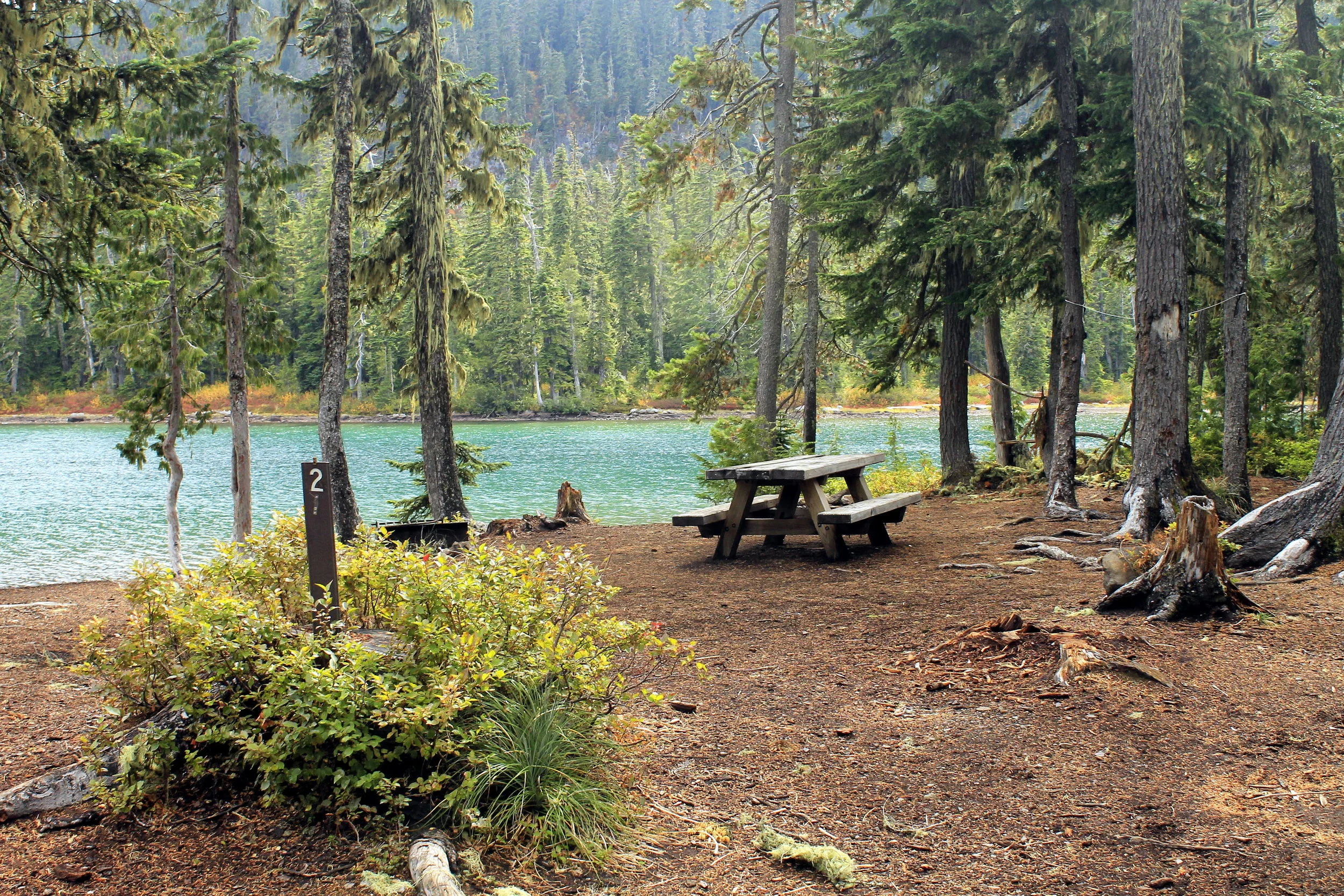
The Olallie Scenic Area is unique, a large and mostly flat area that straddles both sides of the Cascades. Hundreds of lakes dot this scenic plateau, allowing outdoor lovers countless opportunities for exploration. The trails are mostly level and well-maintained, allowing for many easy hikes. There are also several exceedingly steep spur trails leading to outstanding viewpoints, and each and every one of these are different enough that all are worth hiking. This section covers every hike in the Olallie Plateau.
Now we’ve arrived at the big snowy mountain at long last. The hikes are as varied as the terrain; while some follow rushing rivers in dark canyons, others start high and climb higher. Most of these hikes pass lakes on the way, and some pass many lakes. This section also contains some of the best wildflower meadows and viewpoints in the wilderness as well. In short, this area has everything! This section covers hikes accessible from the west side of the Mount Jefferson Wilderness.
The eastern slope of the Mount Jefferson Wilderness and surrounding environs burned horribly in the B+B Fire in 2003. As a result, most of the first ten hikes in this section have long stretches of blackened trail. The fire may have changed the character of these hikes but the area remains extremely beautiful, and you will appreciate the islands of unburned forest all that much more after passing the miles in burned timber. If hot, dusty trail through fire-scarred forest isn’t your thing, the Metolius River is a cool oasis that will please pretty much everyone who enjoys the outdoors. This section covers hikes accessible from the east side of the Mount Jefferson Wilderness, as well as the Metolius River.